Project Overview
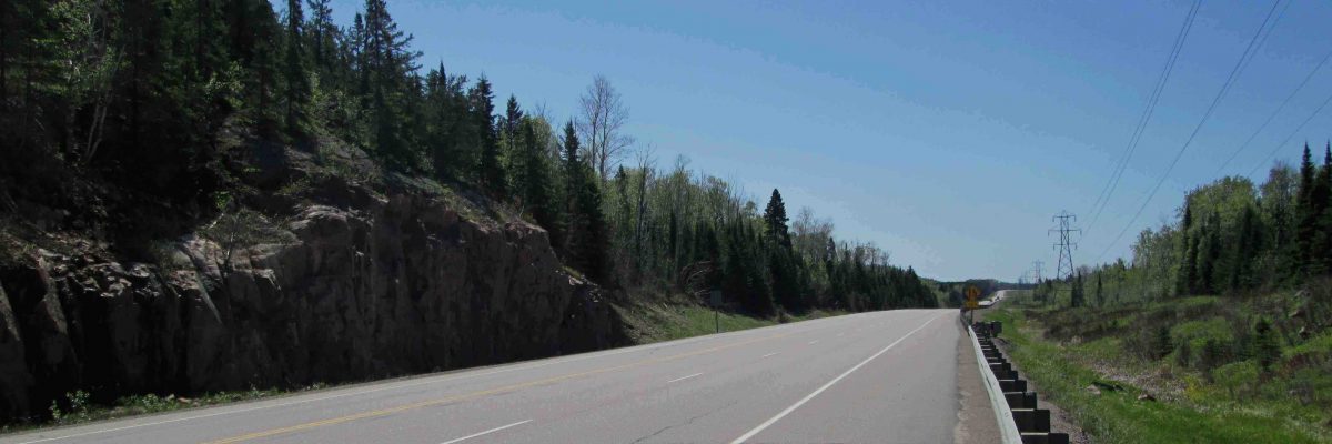
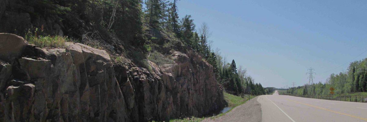
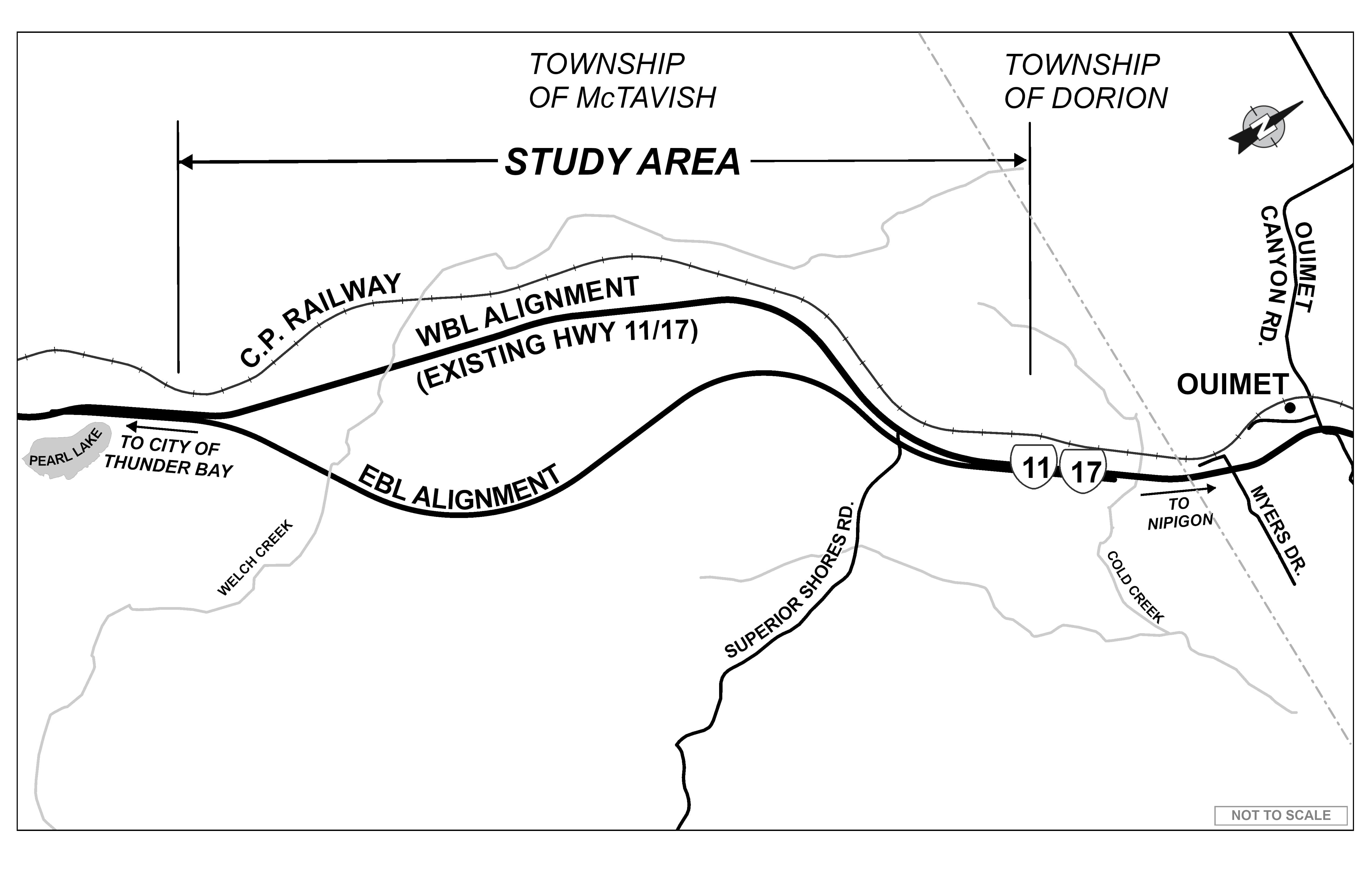
The Ministry of Transportation (MTO) has retained WSP Canada Inc. to undertake the Detail Design and Class Environmental Assessment (EA) Study for Highway 11/17 four-laning from Pearl Lake, easterly to 2.8 km west of CPR Overhead at Ouimet, for 7.6 km, as shown in the key plan below.
Highway 11/17 is a strategic link in the Trans-Canada Highway system. Transcontinental, regional and local traffic rely heavily on this highway and there is no alternative continuous roadway between Thunder Bay and Nipigon (100 km). The four-laning will provide a parallel, continuous, alternative route in the event of a roadway collision/incident, natural disaster or structural loss, which could lead to the closure of the existing roadway. In addition, the proposed four-laning will:
- Protect the Region’s economy by removing the potential economic impact of the closure of Highway11/17; and
- Improve traffic operations and highway safety along this section of the Trans-Canada Highway.
The study will prepare a preferred, four-laning design alternative to address the current and future needs of Highway 11/17 within the study limits. It will build upon the Planning and Preliminary Design phase (completed in 1997), which determined the planning requirements for the four-laning of Highway 11/17. At that time, an Environmental Study Report (ESR) documented operational and capacity deficiencies, the evaluation of alternatives, and identified a preferred preliminary design plan to address the current and future needs of Highway 11/17 within the study limits.The four-lane highway corridor was designated (protected) in 2003. Once completed, the four-laning of Highway 11/17 encompassing the study area will create a continuous 100 km stretch of four-lane divided highway easterly from Thunder Bay.